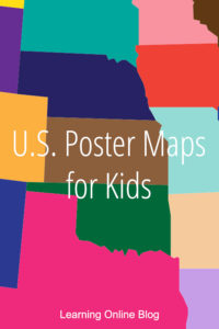
If you’re teaching United States geography this year, you might want to look at the U.S. poster maps for kids that I found recently.
These maps are designed with kids in mind with their simple layouts, interesting information, and basic facts.
They have dry-erase surfaces so you can mark them up as you like. Possibilities include writing in additional facts, drawing state landmarks, and putting stars or X’s on states you have studied.
Hang them up with mounting putty, removable wall mounting tabs, velcro strips, or tape.
*This post contains paid links. I earn a small commission from the sale of products purchased via these links. Please see my disclosure for details.
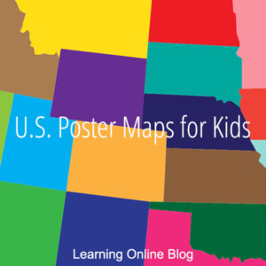
U.S. Poster Maps for Kids
FlyingKids USA Map Poster for Kids – This 18 x 24 inch poster has more than just a map of the U.S. It has interesting facts, quiz questions, and boxes for your children to write where they have been, where they would like to go, and favorite places. Comes with a dry-erase marker.

Kids United States Map – Here’s a 13 x 19 inch U.S. poster with state slogans and images of interesting features.

United States Map for Kids – This is an 18″ x 24″ poster map with state names, capitals and features for kids to explore.

Wall Pops Kids USA Dry Erase Map with Decals – This peel and stick, 24 x 36 inch poster comes with fun decals your child can attach. Both poster and decals are removable and reusable. Includes state names and capitals.

Map of United States for Kids – Here’s a bold and basic poster map that’s 17 x 22 inches and covers state names and capitals.

USA Map for Kids – Here’s an inexpensive 18 x 24 inch map for kids that covers state names and capitals.

Know anyone else who would like one of these U.S. poster maps for kids? Share this post with them.
More help on this site with teaching U.S. geography:
- U.S. Geography Apps for Learning
- Use These Scratch-Off Maps of the U.S. for Geography Activities
- Teach Beginning Geography Skills with These U.S. Map Puzzles
- Where to Get U.S. Geography Curriculum for Your Homeschool
Many blessings,
![]()