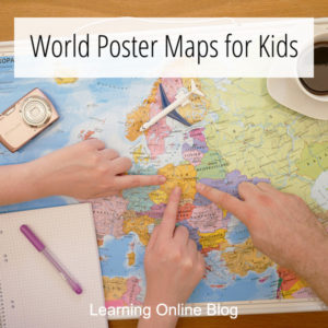
Today, I have some world poster maps for kids that I think you’ll like. They are colorful, clearly labeled, and, in some cases, decorated with the interesting features of various countries.
You can use one of these maps as a reference tool or for geography lessons. They are typically laminated so you can let your kids write on them with dry- or wet-erase markers. Hang one on a wall or bulletin board in your homeschool room.
*This post contains paid links. I earn a small commission from the sale of products purchased via these links. Please see my disclosure for details.
World Poster Maps for Kids
World Map for Kids – This 18″ x 24″ laminated poster has continents in their own unique color schemes. The individual countries are all clearly labeled making it a good learning tool. Pictures of interesting features are also included.
FlyingKids World Map Poster for Kids – Here’s an interactive 18″ x 24″ map that children can write on. Comes with spaces for children to write where they have been and where they would like to go. It also has interesting facts and fun quizzes and all countries are labeled. A dry-erase marker is included for your convenience.
Kids Laminated World Map – Here’s a large 36″ x 24″ map that’s brightly colored and clearly labeled with the country names. Pictures of interesting features are also included.
World Map for Kids – If you’re looking for simplicity, this world map is what you want. It’s a no-fluff poster made with vibrant colors and clear, bold text. This poster is two-sided with labels on one side and none on the other.
Do you know anyone else who would like one of these world poster maps for kids? Share this post with them?
More help on this site with teaching world geography:
- World Geography Apps for Kids
- How to Encourage a Love of Geography in Your Homeschool
- Where to Get World Geography Homeschool Curriculum
- Scratch-Off World Maps for Geography Activities
- Detailed World Maps for Under $10


